

Concierge Land Development · California & Hawaii
There’s a version of your land
you haven’t met yet.
TerraPlan turns raw California and Hawaii acreage into a clear, approved, build-ready plan. You picture the future. We chart the path. The county says yes.
- LiDAR Survey
- Civil Engineering
- County Entitlements
The Problem — Part One
Owning the land was the easy part.
Then came the surveyors. The drone crews. The civil engineers. The permit consultants. Five timelines. Four invoices. And one quiet question nobody quite answers — who is actually in charge here?
“You bought land. You didn’t sign up to project-manage it.”
The Problem — Part Two
Somewhere between your vision and the county, big plans go quiet.
A slope nobody flagged. A setback nobody expected. A feasibility study that lands too late to matter. Most land dreams don’t fail loudly. They stall — folded into a drawer, waiting for a yes that never gets asked for.
“Ambition shouldn’t need a translator.”
Your Guide
This is the part where it gets simple.
You don’t need ten vendors. You need one partner who has walked this ground before — and knows the way through. That is the whole idea behind TerraPlan.
-
01
We read the land.
LiDAR survey, contour models, and orthophotography. Before anyone dreams, we learn the truth of your terrain — every slope, every limit, every gift.
-
02
We draw the future.
Site planning, grading design, and feasibility studies become real, engineered plans. Your ambition, made buildable.
-
03
We earn the yes.
We carry your plans to the county and the agencies — and stay at the table, from first submission to approved permit.
One partner. One plan. From first idea to approved permit. Everything but the hammer — you choose who builds it.
The Journey
From bare ground to broken ground.
Six stages. One straight line. This is the path your land travels with TerraPlan.

An open canvas. Beautiful, quiet, and full of unasked questions.
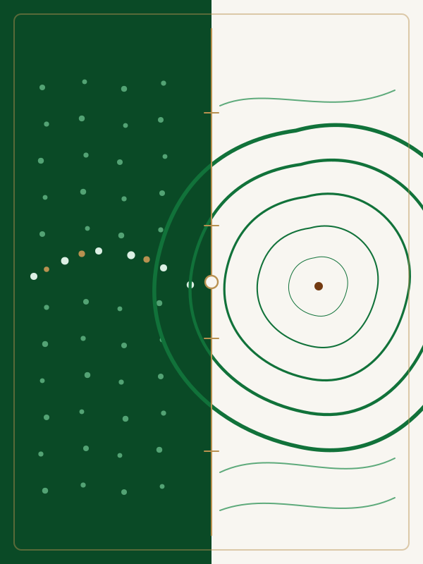
LiDAR turns your acreage into millions of precise points — then clean, readable contours.
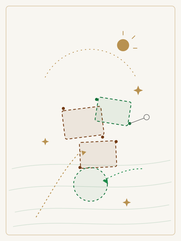
We sketch what’s possible, grounding bold ideas in the real shape of your terrain.
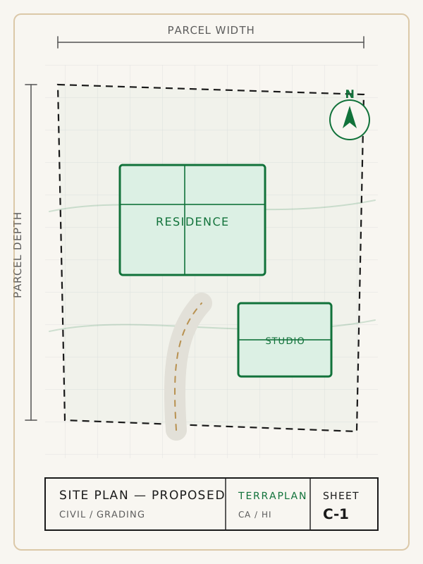
Concepts harden into true engineered drawings — site plans, grading, the works.
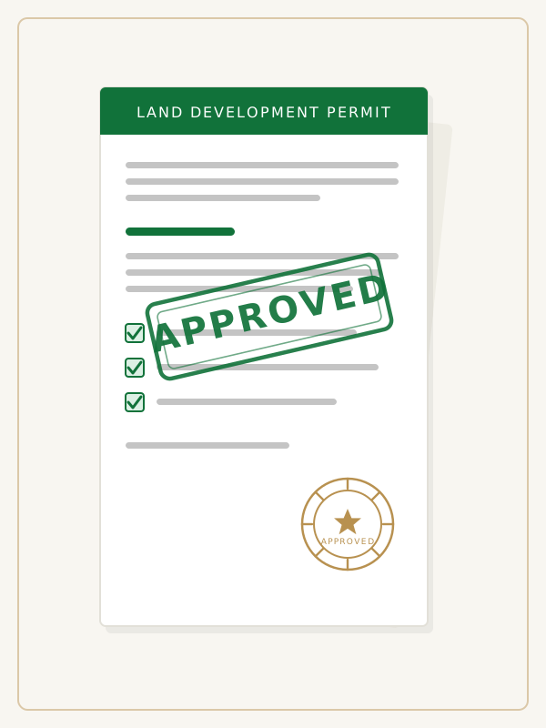
We walk your plans through county review, until the permit is stamped.

Ground breaks. The plan you pictured becomes the place you stand on.
Say Hello
Tell us about your dirt.
No drip campaign. No “we’ll circle back.” Just tell us where the land sits and what keeps you wondering about it. We’ll tell you — honestly, and fast — what we think is possible.
Worst case, you learn something new about your own acreage. Best case, it’s the first call of the rest of its life.
Trust
Land owners talk. Here’s what they say.
We came in with a hillside and a hunch. TerraPlan handed back a permit and a plan we could actually build. They never once made us feel small for asking.
I’ve worked with a lot of engineers. Few of them can also tell a story to a planning commission. TerraPlan can — and did.
The honesty up front saved us a year. They told us what the slope would and wouldn’t allow before we fell in love with the wrong idea.
One contact. One invoice. One plan. After three false starts with other firms, that alone felt like a small miracle.
Our clients expect deliverables that hold up. TerraPlan’s surveys and contours are the cleanest we’ve ever put in front of a designer.
They treated our forty acres like it mattered as much to them as it did to us. Turns out, it did.